• Drone 3D Topographic Surveying and Mapping Service Drones Malawi
    Drone Mapping Aerial Photography Photogrammetry and Orthophoto Production Drones Malawi
    ACCURATE HIGH-RESOLUTION GEOSPATIAL DATA
    Drones Malawi Drone Mapping DSM digital surface model DTM digital terrain model
    As easy as X, Y, Z.
    Trusted to Aerial Survey 140,000+ Hectares of RGB & Multispectral Data in 20!

Services

At Precision, we believe in using Drone Technology to make work safer and more efficient. Our proven Drone Solutions simplify the collection and analysis of geospatial data, allowing professionals in Surveying, Agriculture, Engineering and Humanitarian Aid to make better decisions, faster.

DRONE SURVEY & MAPPING

As easy as X, Y, Z.

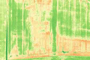
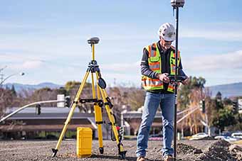
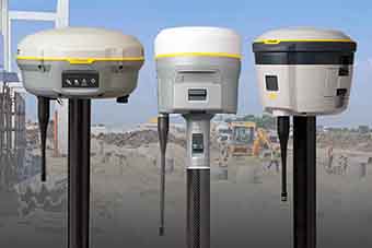
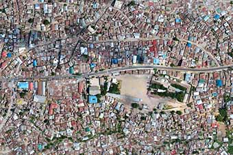
Every few years, the geospatial industry undergoes a revolution. First, it was total stations, then came GPS, laser scanners and robotics. Now, Precision offers Mapping Drones to provide excellent positional accuracy and much faster data collection for 1 to 50,000 Hectares.

AGRICULTURAL NDVI MAPPING

Fly. Know. Act.

Being able to increase crop yields, while saving on water, fertilisers and pesticides, is a game changing advantage to every farmer. Precision employs state-of-the-art tools and techniques that assist you to make informed, data-driven decisions.

MALAWI MAPPING INITIATIVE

Data On Demand.

We are creating a Geonode of annually-collected GIS Data, Orthomosaics and Digital Elevation Models of the major towns and cities in Malawi at ultra sharp 5cm Resolution and Absolute Accuracy in UTM 36S, referenced to ITRF2014 and EGM2008.

CORS/NTRIP NETWORK

Accuracy, Anywhere in Malawi.

RTK/PPK Reference Stations positioned across Malawi with RINEX Logs available to Clients by Subscription.

UAV TRAINING

Kickstart a career in Drones.

Precision provides Drone Training for individuals and organisations seeking to undertake their own UAV Operations.

EQUIPMENT & SOFTWARE SALES

Garmin. Septentrio. ComNav. Trimble.

We supply a wide range of reputable and reliable GNSS Systems including Reference Stations, Base & Rover Kits, Data Loggers and UAVs.